Adventures between Rainforests and Andes
Baños de Agua Santo - The Gateway to Amazon, also known as the Adventure town of Ecuador or the town with the End of the world swing was my picked home spot in Ecuador for a month. As a
workawayer I teached German and English at a language school, during my free time I used the spot
mostly as a training camp and during the weekends it appeared to be the perfect starting point for adventure trips.
Primarily, Banos is famous for it hotsprings with healing water properties. Secondly, for it's reputation as the adventure town of Ecuador - Rafting, Rope Swings, Climbing, Kayaking, Mountain
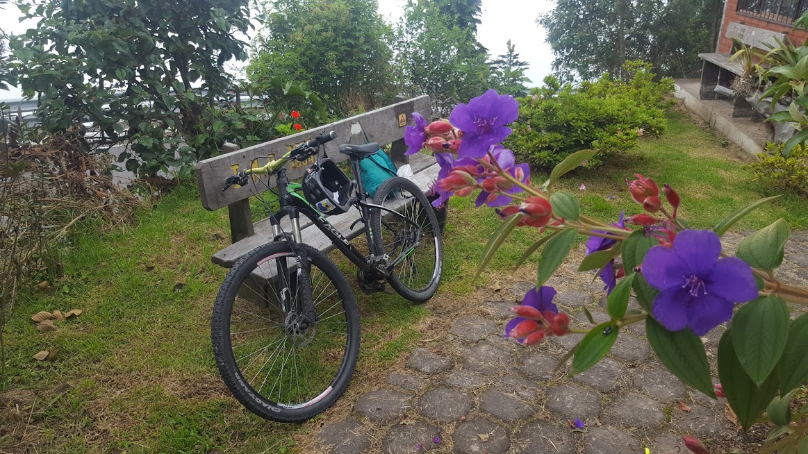
Biking, Paragliding and so on. So, a lot of Backpackers are passing by and stay for a few days coming from Quito etc. and continuing to the dschungel or the beach. It's situated at 1800 m
altitude - ohh, Baños is just perfect situated for a lot of outdoor sports.
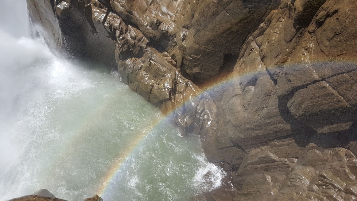
Some other highlights are the Pailon del Diablo, Swing at the End of the world, or biking down La Ruta de las
Cascadas - 60 km from Baños the Andes to the rainforest. Buses are used to take the bike and you back! Also, because I did a short internship with Geotours and used their bikes I like to recommend them, also for other adventures and tours!
Also, I like to mention the Baños Trailrunners, a group of
trailrunners to explore the trails around the town. They are doing fun night walks, runs, training runs and long adventure runs on Saturdays etc. and are a good way to socialize. I felt welcome
from the first time. For swim training I can recommend the Santa Clara pool.
But let's continue with some adventures. I did three longer weekend/ day trips, I like to share.
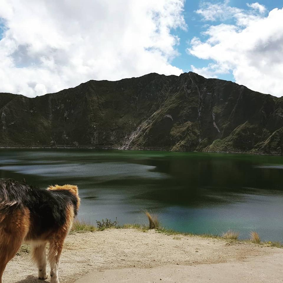
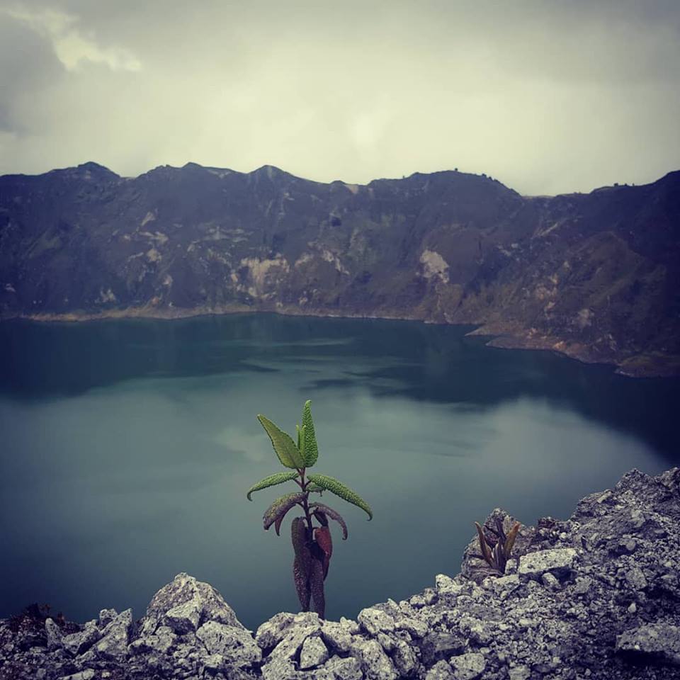
1. Quilotoa trek weekend trailrunning trip (~50 km, ~ 2,000 m elev.)
The Quilotoa crater and the Quilotoa trek is probably the most famous trek to do in Ecuador. In total it's around 40 km but the really nice thing about are the acommodations along the way.
They actually make it worth to hike it instead of running it. Anyways, I started around 5 am in Baños and took a bus to Lacatunga circuit de autopista from there I just asked for the Quilotoa and
after another bus ride and a taxi collectivo ride I arrived at the Quilotoa crater around 10 am. Actually, it's probably better to hike the trek the other way around, starting from Sigchos or
Isinilivi , to have the highlight at the end. But the weatherforcast was not really stable and I wasn't actually not sure to run it.
First part:
Running down & up the crater to the lake and taking a touristic alpaka picture. 4 km, 400 m elevation, 1,25 h.
Second part: Quilotoa circuit, 11 km around the crater lake. By the way, the crater is in a altitude of 3,800 m, so the air is thinner there.
Third part:
Quilotoa - Chugchilan. After a meet up with friends, some food and thinking if I really want to run into some dark clouds and rain in over 3,000 m, I decided pretty late, at 4 pm to do it. 12
km and around 3 hours to Chugchilan and I got a bit lost already after around 3 km. I think, I have to mention and it's pretty common to get lost on the Quilotoa trek and end up in front of a
house or a few barking, sketchy dogs. There is even a list how to react/handle dogs. My way was to carry a branch with me all the time. Other ways are a hand of stones or pick up stones when the
dogs are coming to you. I arrived in Chugchilan in the dawn or better it was already night and raining quite a bit and I was getting cold. So, I was really happy to hear, that for the price of 18
$ for a single bed room, a meal and breakfast was included without having it booked in advance. The group of backpackers told me, that the other hostel in Isinilivi, The Llullu Llama, was even better and they stayed there longer just to enjoy the hostel, playing music and
boardgames in the evening and having a hot tub. That's the nice thing about hiking together over a few days instead of running it.
After a delicious breakfast I started from
Chugchilan to Isinilivi at around 9 am running down into a beautiful but smooth green canyon valley. After 12 km, 2,5 hours at a elevation of around 3,000 m I arrived at the LLullu LLama and
it's really nice, so I decided to eat a burger there but I had to wait until the kitchen opened at 1.30 pm. During that time I got a chance to talk to the other guests and what should I say I
really wished I could also stay there, but it cost 40 $ for a dorm and it was booked out anyways, so I continued from
Isinilivi to Sigchos after my lunch break to catch the last bus at 5 pm. The last 12 km, 500 m elevation took only 2 hours, so I already took a bus at 4 pm, also because from all the towns
Sigchos seemed to be the less interesting one and I would actually recommend to go directly to Isinilivi and not to stay there.
Have fun and enjoy the Quilotoa trek, I would say it's a must do in Ecuador.
2.
Condor trek (La Ruta del Condor) - suffering deluxe (~41 km DNF, ~ 2,3000 hm elev., 9,5 h)
La Ruta del Condor as not as famous and frequented as the Quilotoa trek but harder. It's listed in the National Geographic Ultimate Adventure Bucket List and offered by a lot of
companies as the ultimate Andes multi-day trek of Ecuador.
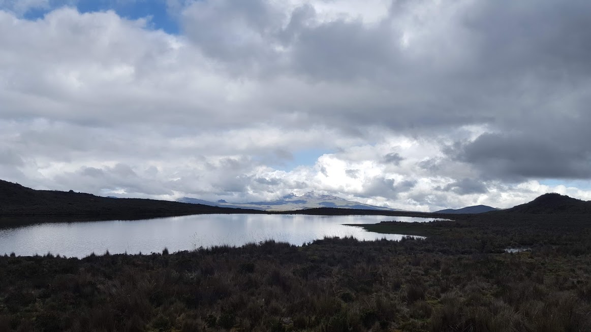
In total the full official trek is around 57 km long and has an elevation gain of 2,300 meters but the interesting part is that it's all the time between 3,500 and 4,400 m altitude!
Unfortunately, the 5 to 6 day is really expensive and cost often around 1000 $ or more. So, that was no option and I anyways was more interested to run it. Looking on the map there was absolutely
no village/town or accomodation on the way. Instead you're passing some volcano peaks like Antisana, Sincholagua, Ruminahui to finish at the foot of Cotopaxi itself. All the way is going trough
the so named Páramo, andea tundra grassland.
I wasn't sure if I can make it and was looking for partners and safety but like often when I'm planning really "funny, stupid and un poco loco" trips, I could't find one. So, I took another
early bus from Baños to Machachi. My plan was just another time to run the trek the other way around from the NP Cotopaxi entrance to El Tambo, a small village and take a bus or hitchhike from
there to Quito.
The way from Machachi to the NP Cotopaxi entrance to way longer than expected and also 4 short hitchhikes but the people in the areas without buses etc. were super friendly and almost every
passing car picked me up even if just for a short ride. I took a detour to the Secret Garden Hostel Cotopaxi, rated as one of the best hostels and South America and really nice but probably a
mistake, because this detour of 15 km took me almost 3 hours, so I really started the real trek around 10.30 am at the Park entrance. From there on I was completely alone for the next 8 hours.
Combined with some cold, rainy and even hail weather on 4,000 meters and meant this to be my hardest suffering deluxe run without having an exit or emergency plan. Writing it now, I actually
think it was quite stupid but cause I survived and not got into big troubles I can just call it a great trail running adventure. It was also the first trail adventure I could't finish and
"failed" but you learn more from your fails. All the trail was beautiful, but the weather and my logistic and the time and also my day form wasn't enough that day.
On my way I passed the highest point of the trek, the the base of Volcano Sincholagua at 4,400 m but it took forever to climb it up and I already suffered a lot. I reached the Camping spot
No. 3 at 5 pm when dawn already started and got a little bit to panic, knowing that running during the night in this altitude would't be fun.
Fortunately, half way of the trek I ended up at a cattle farm and asking for help worked out. It was kind of a funny situation when a probably 10 to 13 years old girl on a horse in
traditional andean clothes, sittting on a horse ask you if what the hell are you doing, why you have not tent and nothing with you and the only thing you can answer "My plan to run the trail in
one day failed". They couldn't understand me and probably thought that I'm very stupid but they were super friendly and invited me into their rustical house without light, cooking some food on a
fire and giving me some Cola to drink and they gave me a lift to the next town and to a bus stop to go to Quito. I missed the last bus at 8 pm going to Quito but the another bus driver gave me a
private, free shuttle to a hotel, where I took a warm shower and felt asleep immediately.
With some more planning and with a good group and the right conditions, I think, La Ruta del Condor is one of the hardest and best trail running adventures you can do! Have fun and the best
greats to the cattle farmers halfway!
3. Tungurahua -
bike -
run - volcano peak adventure
Tungurahua "Throat of Fire" (Quechua) is one of South America's most active volcanoes with it's last eruption in February, 2014. It's enthroning over Baños and gives it name to the
region. Enouh reasons to make it to a project and because you don't need a guide to "climb" it, and it was directly next to my place an affordable one.
Baños is at 1,800 m. The Tungurahua has an altitude of 5,023 m. That means 3,200 m elevation difference. I rent a bike from Geotours to ride up the first part to the Sangay Park
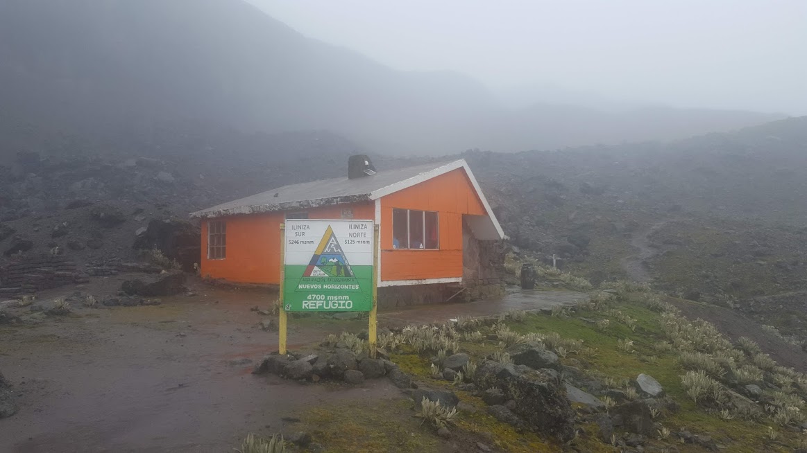
entrance. For the 13,5 km (~1,100 elev.) on a mostly paved road I needed 2,5 hours. The first part on moody trails through nebulous mountain rainforests. I met one bigger group coming
down with a guide and looked pretty tired - they did like most of the hikers a two day trip with a night at the refugio and a night start to have a cold sunrise at the top.
The refugio is situated just when the rainforest landscape change to a boulder, stone volcano sparse landscape at 3,800 m after around 4,8 km and ~ 1,000 m elevation. The refugio looked nice and
it's probably a good place to stay but the weather looked good and I had no warm sleeping bag etc. with me, so I continued.
The way is normally not too hard to follow but I still got lost and found myself in a steep, rocky lose area -a bit scary and I lost probably more than 2 hours and some confidence, also because
some rain/thunderstom clouds appeared. After a long time I found finally my way back on the right trek. It still took me forever to reach the top and climbing an active volcanoe with some dark
clouds and not stable weather around you feels "interesting ;)".
But finally I reached the top and from there on the Tungurahua was super friendly to me showing a spectacular view of forests and other mountains surrounded by clouds.
The descent in the late afternoon was a beautiful hike/run against the sunset. Stopping for pictures but knowing, that my bike doesn't have lights and I don't want to cycle the road down in
the dark. Passing the refugio, I met two other guys enjoying the sunset. I started the rainforest section still with a bit of light but knowing that I had no chance to finish it in the light but
some fireflights glowing in the dark were a nice spectacle and are not able to see in the light and running blind in the dark feeling the ground and trust your steps is a great coordinative
running training.
Finally, I reached my bike with 20% akku left on my phone. Using my phone light as a lamp I went down. Passing some barking dogs and staying on the pedal on the not dog attacking side I
somehow made it back to Baños and reached Geotours at 8.30 pm, just closing. What a timing and a great adventure!
Some other small adventures, experiences & personal recommendations:
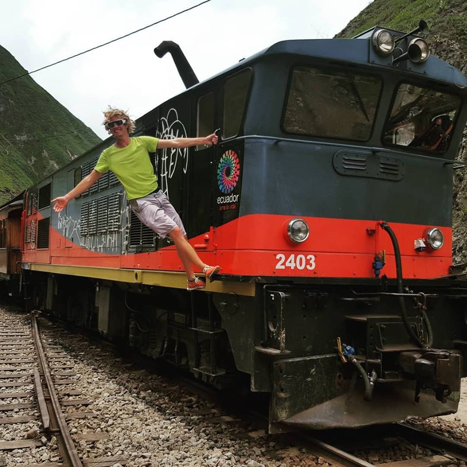
Nariz del Diablo - If you
miss the train!
The railroad construnction is a construction masterpiece and worth a ride. The train station is located in the cute town of Alausí. I came there from Riobamba and didn't booked a ticket before,
so I didn't get a place. The train is a tourist attraction, so it probably makes sense to book your ticket in advance - upps!
If you're taking the no trespassing the railroad signs not too serious and running the 12,5 km downhill just when the train left it's pretty safe and in my opinion a even better experience
than doing it sitting in a train. I reached the other station in Sibambe a bit after the train arrived but was still able to join the dance show etc., they do for the visitors.
Unfortunately, they didn't want to take me back when I asked but I met an Ecudorian, who lived in Germany for a while and so we hiked back together.
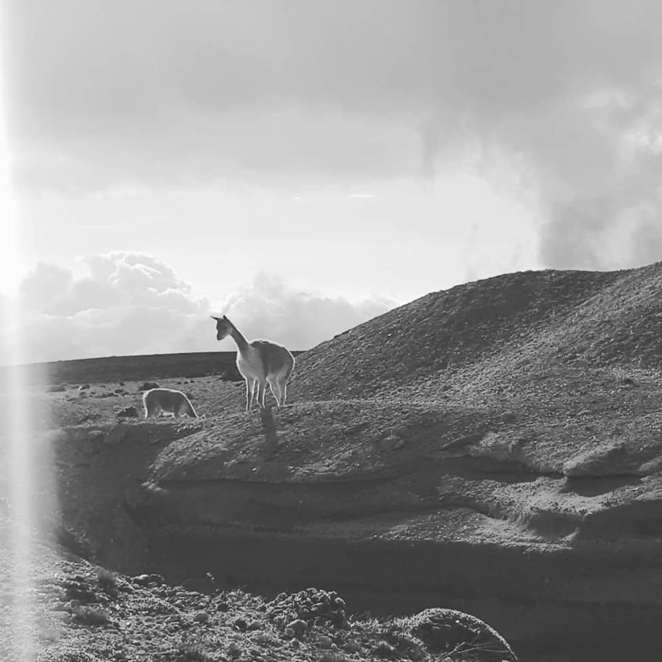
Chimborazo - The highest point on earth!
With 6,268 meters Ecuadors highest mountain and measured from the middle of the earth even higher than the Mt.
Everest and so, the highest point of earth. I just made it to the last Refugio Whymper at 5,000 m and a bit further at 5,100 m to Laguna Condor Cochu. From the park entrance up and down 14,6 km,
~3,75 hours (elapsed time) and 742 m elev. on a wide unpaved road with some cute vicuñas watching you.
Rucu Pinchincha - Quito's urban house volcano
You can take the gondola from Quito to the highlands of Quito to have a great overview over the town and surroundings and if you are up to it, it's an easy way to ascent a with 4,784 m
altitude a volcanoe almost as high as the Mt. Blanc (4,808 m). 11,2 km, 780 m elev., 3 h elapsed time - a nice hike/trail running Quito adventure.
My birthday trip :)
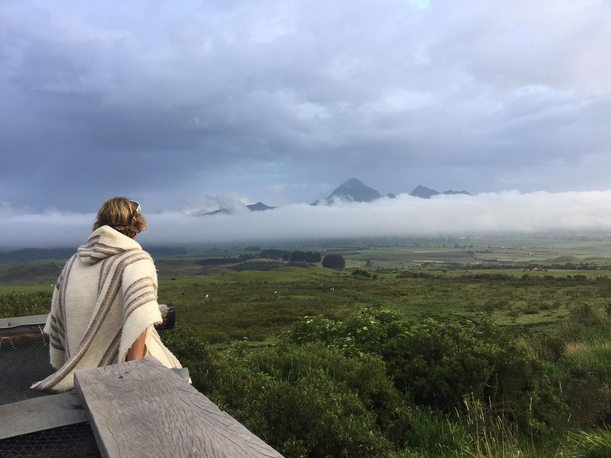
Secret Garden Cotopaxi - Pasochoa
Probably my favourite hostel experience in Ecuador and a rolemodel for me - even if I'm not sure if I should still call it a hostel, just because it's better than a lot of hotels I have been
in. It's expensive for 40$ per night or a 3 day/2 night deal for 95$. Therefore you get 3 meals, a guided river hike to some waterfallls and another guided hike to the Pasochoa (4,200 m).
There is no Wifi but therefore a hot tub, an amazing view on the Cotopaxi and surrounding and meeting other people and a paradise area.
El Tio - Otovalo
Another hostel in Ecuador I would really like to recommend. Another hostel without Wifi but therefore bonfires, music and hospitality. Coincidence - that I made my best hostel experiences in
hostels without Wifi and adventures without Wifi and too much planning?
Is it an adventure if there is no coincidence and you can watch it or figure everything out on a screen, moving just a finger!
Be alive, Because we can, Let's share some adventures!
Cheers, Hajo


Kommentar schreiben